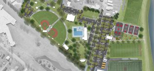
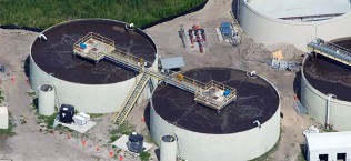
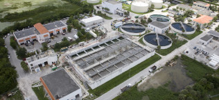
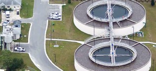
City Utility Planning Overview
Lake Wales, FL
Using ArcGIS analyses, GAI created population growth projections within City utility service areas for water and wastewater, and used existing data to produce population growth projections at specified intervals over a 30-year period. The projections were used to assess utility needs over time. GAI produced mini master plans for proposed water and wastewater utility expansion and supporting maps and graphics that depicted major property ownerships, utility service areas, and population growth projections.