MicroStation to ArcGIS Conversion Overview
Ohio
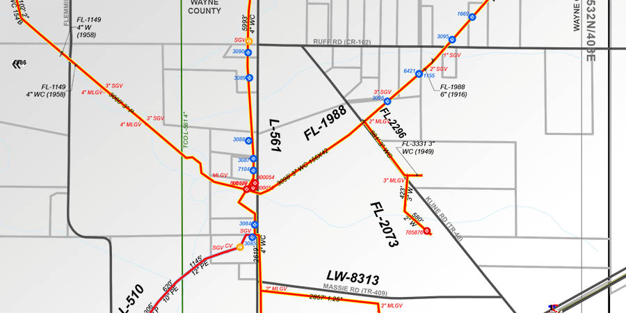
GAI converted 2,400+ miles of natural gas pipeline infrastructure data from MicroStation into a Geographic Information Systems (GIS) database with key fields such as diameter, material type, and installation date and method. Additionally, to track project schedules and identify efficiency improvement areas, GAI developed a daily work log sheet showcasing the project’s overall status and daily work averages. GAI also developed a series of “system map books,” including 800+ maps, using complex labeling strategies, dynamic layout text, and documentation for maintaining the books. Moving forward, GAI continues to provide on-call technical support to the client’s GIS and Project Management teams.